Location
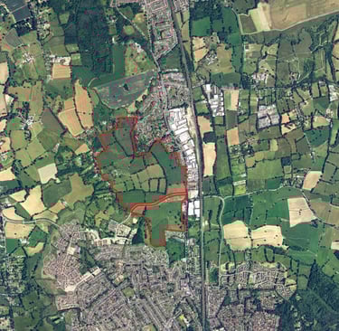
Ladyland Farm (Land West of Salfords)
The development is being named Land West of Salfords is on a Hertiage Farm (one of surreys oldest) acording to its own website ladylandfarm.com and dates back to c1569. The existing farmhouse of Ladyland Farm was built in the early years of the sixteenth century, at the time of the dissolution of the monasteries by Henry VIII. However, the farm is much older - records show that in medieval times King Alfred's grandson, Athelstane, granted Ladyland Manor to the Abbot of Chertsey. At the time that Chertsey Abbey was destroyed, Ladyland Manor was given by Henry VIII to Nicholas Carew.
Despite this rich history and recent evidence of the fields being farmed for crops, the developers claim the land is currently designated as Green Belt but is not subject to other landscape or ecological designations that would prevent development from taking place?
This proposed development will connect Westvale Park, Horley and Salfords creating just the urban sprawl that Green Belt land is designed to prevent. The developers plan to get around this by reclassifying it as "Grey Belt" or by keeping a thin strip of land behind where Lawsons Timber yard is today as a Green Belt - this land is subject to flooding and is unusable most of the year. Plus a supermarket application was refused in this very spot because it represented inappropriate development in the Green Belt where planners ruled that development should only take place where very special circumstances existed?
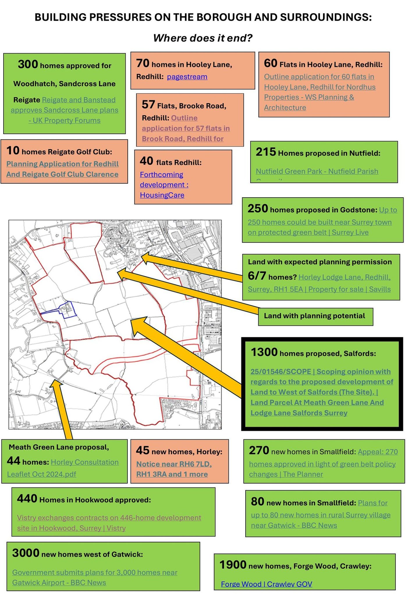
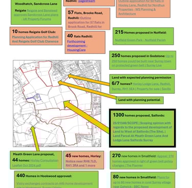
In addition there are multiple other developments being proposed or approved in this area, see below map where does it end?
When this historic green belt land dating back to 1569 is gone ...... its gone forever


Contact Us
salfordsresidents@gmail.com
© 2026. All rights reserved.